Church Hill, Codsall
Introduction
The photograph on this page of Church Hill, Codsall by Richard Vince as part of the Geograph project.
The Geograph project started in 2005 with the aim of publishing, organising and preserving representative images for every square kilometre of Great Britain, Ireland and the Isle of Man.

There are currently over 7.5m images from over 14,400 individuals and you can help contribute to the project by visiting https://www.geograph.org.uk
Church Hill, Codsall
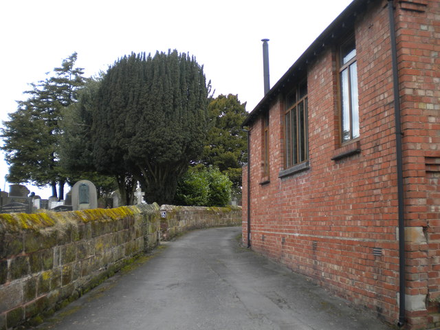
Image: © Richard Vince Taken: 8 Apr 2018
A narrow lane around the back of the church, whose graveyard is visible on the left.
Images are licensed for reuse under creativecommons.org/licenses/by-sa/2.0
Image Location
Latitude
52.634124
Longitude
-2.198691