A56 Trunk Road
Introduction
The photograph on this page of A56 Trunk Road by Paul Anderson as part of the Geograph project.
The Geograph project started in 2005 with the aim of publishing, organising and preserving representative images for every square kilometre of Great Britain, Ireland and the Isle of Man.

There are currently over 7.5m images from over 14,400 individuals and you can help contribute to the project by visiting https://www.geograph.org.uk
A56 Trunk Road
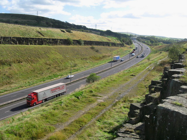
Image: © Paul Anderson Taken: 4 Oct 2007
Looking south the A56 passes through the deep cutting at Moleside Moor This is the link road between the M65 and M66.
Images are licensed for reuse under creativecommons.org/licenses/by-sa/2.0
Image Location
Latitude
53.759305
Longitude
-2.339723