The Grove, Linton
Introduction
The photograph on this page of The Grove, Linton by M H Evans as part of the Geograph project.
The Geograph project started in 2005 with the aim of publishing, organising and preserving representative images for every square kilometre of Great Britain, Ireland and the Isle of Man.

There are currently over 7.5m images from over 14,400 individuals and you can help contribute to the project by visiting https://www.geograph.org.uk
The Grove, Linton
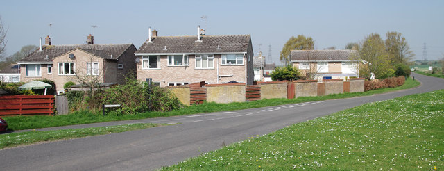
Image: © M H Evans Taken: 20 Apr 2018
Part of the housing estate known (partly) as "The Grove" seen from the junction of Symonds Lane and Back Road, Linton. Pylons, seen in the distance, carry high-voltage electricity supplies across Back Road about 1 Km north-west of this point.
Images are licensed for reuse under creativecommons.org/licenses/by-sa/2.0
Image Location
Latitude
52.102704
Longitude
0.274507