Crossroads on B3301
Introduction
The photograph on this page of Crossroads on B3301 by Robin Webster as part of the Geograph project.
The Geograph project started in 2005 with the aim of publishing, organising and preserving representative images for every square kilometre of Great Britain, Ireland and the Isle of Man.

There are currently over 7.5m images from over 14,400 individuals and you can help contribute to the project by visiting https://www.geograph.org.uk
Crossroads on B3301
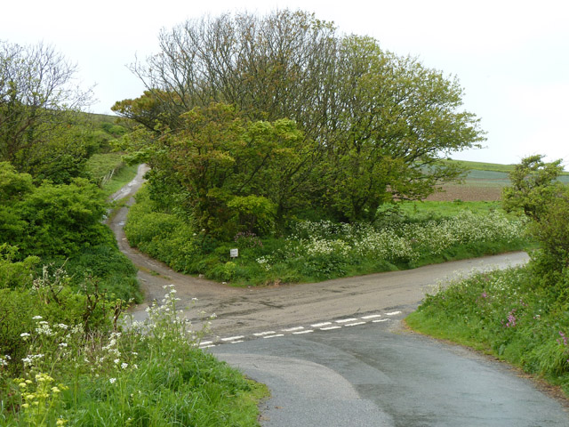
Image: © Robin Webster Taken: 17 May 2013
A lane from Gwealavellan and Reskajeage drops down to the main road, on the other side is a private lane to Pencobben.
Images are licensed for reuse under creativecommons.org/licenses/by-sa/2.0
Image Location
Latitude
50.232311
Longitude
-5.376339