Former bridge supports on Leeds Road
Introduction
The photograph on this page of Former bridge supports on Leeds Road by Mark Anderson as part of the Geograph project.
The Geograph project started in 2005 with the aim of publishing, organising and preserving representative images for every square kilometre of Great Britain, Ireland and the Isle of Man.

There are currently over 7.5m images from over 14,400 individuals and you can help contribute to the project by visiting https://www.geograph.org.uk
Former bridge supports on Leeds Road
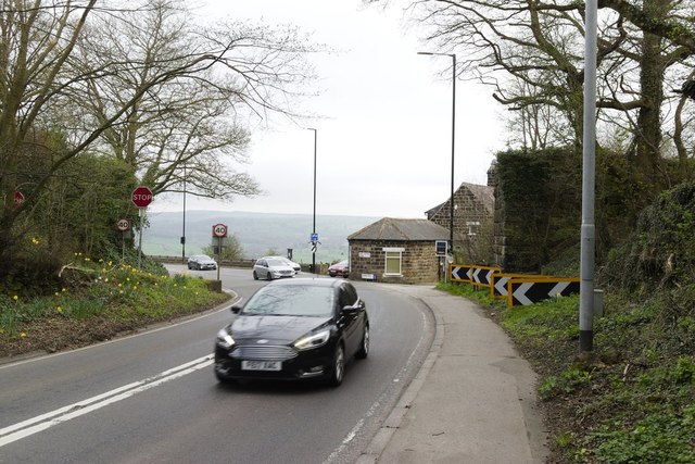
Image: © Mark Anderson Taken: 20 Apr 2018
There used to be a bridge here which carried the Pool Bank quarry tramway over the road. The support to the left of the photograph has been removed, probably to improve visibility at the junction with Old Pool Bank. The base of the support has survived and it is possible that a cut bench mark shown on old maps is under the earth bank with daffodils on it.
Images are licensed for reuse under creativecommons.org/licenses/by-sa/2.0
Image Location
Latitude
53.894517
Longitude
-1.640239