Church House, Stoke, Hartland
Introduction
The photograph on this page of Church House, Stoke, Hartland by Jonathan Thacker as part of the Geograph project.
The Geograph project started in 2005 with the aim of publishing, organising and preserving representative images for every square kilometre of Great Britain, Ireland and the Isle of Man.

There are currently over 7.5m images from over 14,400 individuals and you can help contribute to the project by visiting https://www.geograph.org.uk
Church House, Stoke, Hartland
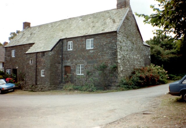
Image: © Jonathan Thacker Taken: 29 Jul 1993
Probably dates from about 1500 https://historicengland.org.uk/listing/the-list/list-entry/1146627
Images are licensed for reuse under creativecommons.org/licenses/by-sa/2.0
Image Location
Latitude
50.994314
Longitude
-4.515355