Shutford
Introduction
The photograph on this page of Shutford by Nigel Mykura as part of the Geograph project.
The Geograph project started in 2005 with the aim of publishing, organising and preserving representative images for every square kilometre of Great Britain, Ireland and the Isle of Man.

There are currently over 7.5m images from over 14,400 individuals and you can help contribute to the project by visiting https://www.geograph.org.uk
Shutford
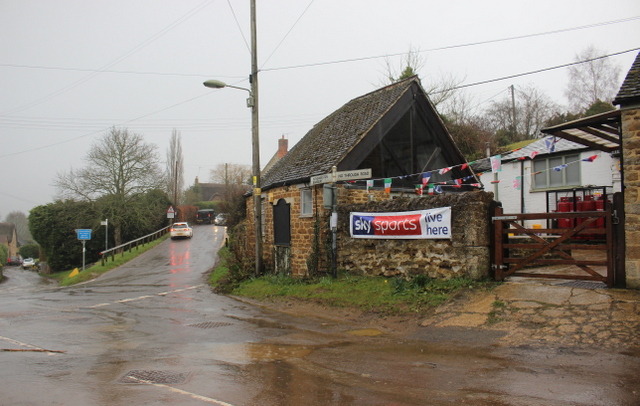
Image: © Nigel Mykura Taken: 11 Mar 2018
This road junction is next to the village pub The George and Dragon part of whose buildings can be seen on the right. The road going up the hill goes to Five Ways and then on to North Newington.
Images are licensed for reuse under creativecommons.org/licenses/by-sa/2.0
Image Location
Latitude
52.058753
Longitude
-1.438568