##9-14 East Pallant
Introduction
The photograph on this page of ##9-14 East Pallant by Gerald England as part of the Geograph project.
The Geograph project started in 2005 with the aim of publishing, organising and preserving representative images for every square kilometre of Great Britain, Ireland and the Isle of Man.

There are currently over 7.5m images from over 14,400 individuals and you can help contribute to the project by visiting https://www.geograph.org.uk
##9-14 East Pallant
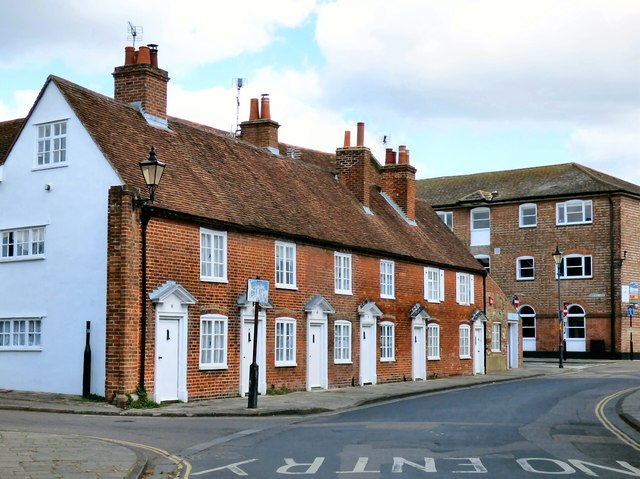
Image: © Gerald England Taken: 25 Apr 2017
A row of Grade II listed https://historicengland.org.uk/listing/the-list/list-entry/1191929 18th century cottages with tiled gabled roofs.
Images are licensed for reuse under creativecommons.org/licenses/by-sa/2.0
Image Location
Latitude
50.835502
Longitude
-0.776263