Building plot, Jemmett Road
Introduction
The photograph on this page of Building plot, Jemmett Road by John Baker as part of the Geograph project.
The Geograph project started in 2005 with the aim of publishing, organising and preserving representative images for every square kilometre of Great Britain, Ireland and the Isle of Man.

There are currently over 7.5m images from over 14,400 individuals and you can help contribute to the project by visiting https://www.geograph.org.uk
Building plot, Jemmett Road
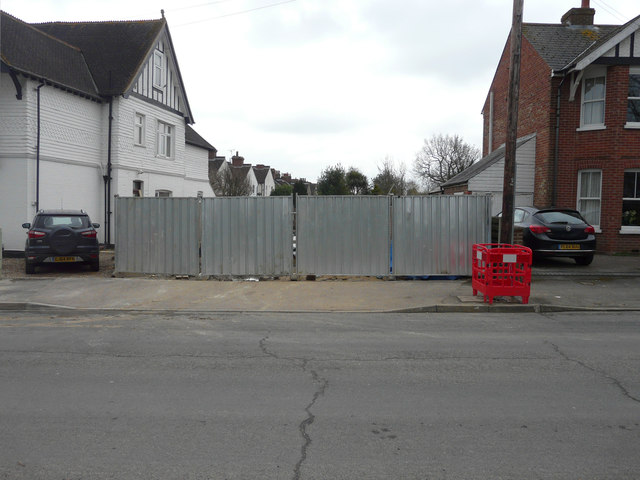
Image: © John Baker Taken: 1 Apr 2018
Planning permission has been granted by Ashford Borough Council under application number 17/00381/AS for a “proposed 4-bed dwelling along with double garage & single garage in vacant plot to the side of 25, Jemmett Road”, which is the house on the left.
Images are licensed for reuse under creativecommons.org/licenses/by-sa/2.0
Image Location
Latitude
51.142879
Longitude
0.864393