Lane to Maire
Introduction
The photograph on this page of Lane to Maire by Derek Harper as part of the Geograph project.
The Geograph project started in 2005 with the aim of publishing, organising and preserving representative images for every square kilometre of Great Britain, Ireland and the Isle of Man.

There are currently over 7.5m images from over 14,400 individuals and you can help contribute to the project by visiting https://www.geograph.org.uk
Lane to Maire
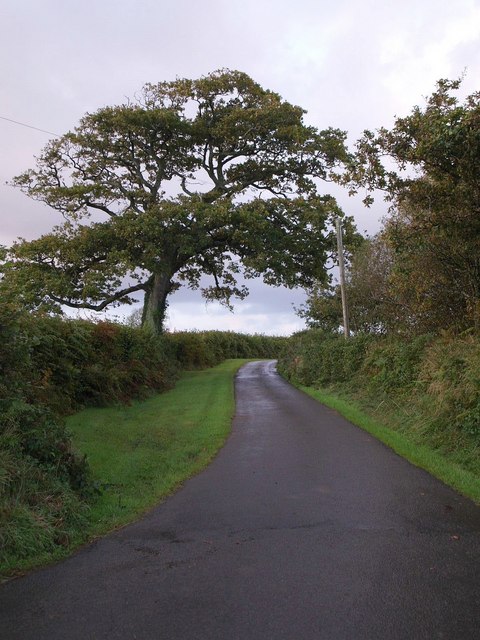
Image: © Derek Harper Taken: 24 Sep 2007
The smartly tarmaced no through lane swings north at this point as it passes a track leading off to Middledown.
Images are licensed for reuse under creativecommons.org/licenses/by-sa/2.0
Image Location


Leaflet Map data © OpenStreetMap
Latitude
50.955234
Longitude
-3.707453