Honiton : Construction Site
Introduction
The photograph on this page of Honiton : Construction Site by Lewis Clarke as part of the Geograph project.
The Geograph project started in 2005 with the aim of publishing, organising and preserving representative images for every square kilometre of Great Britain, Ireland and the Isle of Man.

There are currently over 7.5m images from over 14,400 individuals and you can help contribute to the project by visiting https://www.geograph.org.uk
Honiton : Construction Site
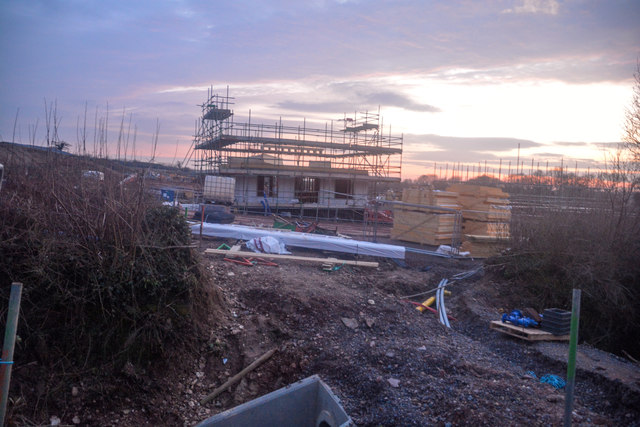
Image: © Lewis Clarke Taken: 8 Apr 2018
Following the granting of outline consent in 2015, Baker Estates submitted – and has received consent for – two, separate Reserved Matters applications which together set out the detailed design for the appearance, layout and landscaping of the 300 homes. This followed an extensive period of consultation with our neighbours and local councillors. Work has now commenced on site.
Images are licensed for reuse under creativecommons.org/licenses/by-sa/2.0
Image Location
Latitude
50.788662
Longitude
-3.213331