The bottom of New Lane
Introduction
The photograph on this page of The bottom of New Lane by Bill Boaden as part of the Geograph project.
The Geograph project started in 2005 with the aim of publishing, organising and preserving representative images for every square kilometre of Great Britain, Ireland and the Isle of Man.

There are currently over 7.5m images from over 14,400 individuals and you can help contribute to the project by visiting https://www.geograph.org.uk
The bottom of New Lane
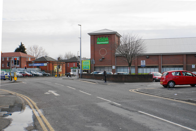
Image: © Bill Boaden Taken: 5 Apr 2018
The main landmark feature where New Lane meets Liverpool Road is Asda.
Images are licensed for reuse under creativecommons.org/licenses/by-sa/2.0
Image Location
Latitude
53.478612
Longitude
-2.366254