Weir on Nant Aber
Introduction
The photograph on this page of Weir on Nant Aber by M J Roscoe as part of the Geograph project.
The Geograph project started in 2005 with the aim of publishing, organising and preserving representative images for every square kilometre of Great Britain, Ireland and the Isle of Man.

There are currently over 7.5m images from over 14,400 individuals and you can help contribute to the project by visiting https://www.geograph.org.uk
Weir on Nant Aber
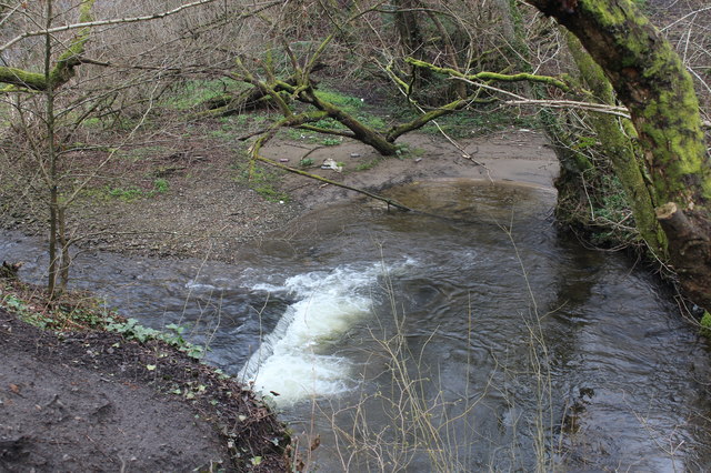
Image: © M J Roscoe Taken: 11 Apr 2018
Small weir just before the river turns to go underneath the Aber Cycleway (camera position).
Images are licensed for reuse under creativecommons.org/licenses/by-sa/2.0
Image Location
Latitude
51.584602
Longitude
-3.245244