Aber Cycleway goes under Aberfawr Road
Introduction
The photograph on this page of Aber Cycleway goes under Aberfawr Road by M J Roscoe as part of the Geograph project.
The Geograph project started in 2005 with the aim of publishing, organising and preserving representative images for every square kilometre of Great Britain, Ireland and the Isle of Man.

There are currently over 7.5m images from over 14,400 individuals and you can help contribute to the project by visiting https://www.geograph.org.uk
Aber Cycleway goes under Aberfawr Road
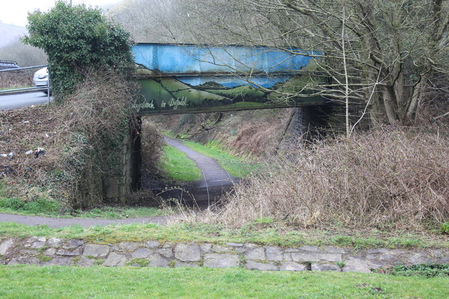
Image: © M J Roscoe Taken: 11 Apr 2018
Cycleway (NCR 475) circumvents a grass mound (camera position) and watercourse channel to go under the bridge over the former railway track bed.
Images are licensed for reuse under creativecommons.org/licenses/by-sa/2.0
Image Location
Latitude
51.592989
Longitude
-3.268139