Ynyswen boundary sign
Introduction
The photograph on this page of Ynyswen boundary sign by Jaggery as part of the Geograph project.
The Geograph project started in 2005 with the aim of publishing, organising and preserving representative images for every square kilometre of Great Britain, Ireland and the Isle of Man.

There are currently over 7.5m images from over 14,400 individuals and you can help contribute to the project by visiting https://www.geograph.org.uk
Ynyswen boundary sign
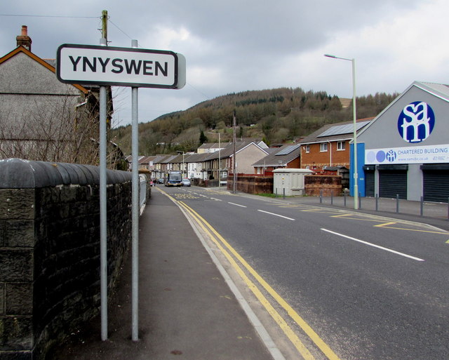
Image: © Jaggery Taken: 9 Apr 2018
The sign alongside the A4061 faces Treorchy. The boundary is marked by the stream Nant Orci https://www.geograph.org.uk/photo/5737709 which flows under the road bridge here.
Images are licensed for reuse under creativecommons.org/licenses/by-sa/2.0
Image Location
Latitude
51.664258
Longitude
-3.514054