Lower New Inn electricity substation
Introduction
The photograph on this page of Lower New Inn electricity substation by Jaggery as part of the Geograph project.
The Geograph project started in 2005 with the aim of publishing, organising and preserving representative images for every square kilometre of Great Britain, Ireland and the Isle of Man.

There are currently over 7.5m images from over 14,400 individuals and you can help contribute to the project by visiting https://www.geograph.org.uk
Lower New Inn electricity substation
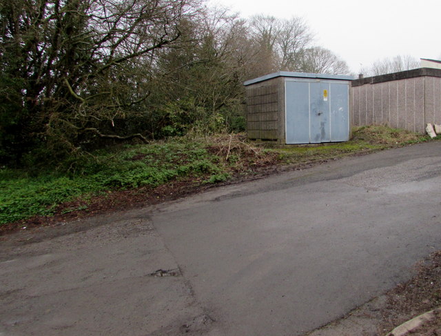
Image: © Jaggery Taken: 12 Apr 2018
Located on the north side of Lancaster Road near lockup garages, the cabinet is a Western Power Distribution electricity substation, identifier LOWER NEW INN S/S 536746.
Images are licensed for reuse under creativecommons.org/licenses/by-sa/2.0
Image Location
Latitude
51.684791
Longitude
-3.008879