New retail market development site, Wolverhampton
Introduction
The photograph on this page of New retail market development site, Wolverhampton by Roger D Kidd as part of the Geograph project.
The Geograph project started in 2005 with the aim of publishing, organising and preserving representative images for every square kilometre of Great Britain, Ireland and the Isle of Man.

There are currently over 7.5m images from over 14,400 individuals and you can help contribute to the project by visiting https://www.geograph.org.uk
New retail market development site, Wolverhampton
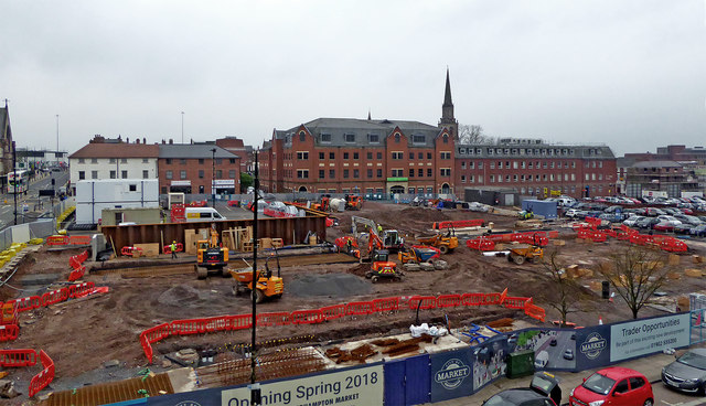
Image: © Roger D Kidd Taken: 7 Apr 2018
Seen from the rooftop car park over the Wulfrun centre, looking across Cleveland Street, towards Temple Street. The spire of St John's Church in the Square can be seen on the skyline, and Snow Hill climbs gently on the left.
Images are licensed for reuse under creativecommons.org/licenses/by-sa/2.0
Image Location
Latitude
52.582262
Longitude
-2.126731