Ewart Hill
Introduction
The photograph on this page of Ewart Hill by Alison Rawson as part of the Geograph project.
The Geograph project started in 2005 with the aim of publishing, organising and preserving representative images for every square kilometre of Great Britain, Ireland and the Isle of Man.

There are currently over 7.5m images from over 14,400 individuals and you can help contribute to the project by visiting https://www.geograph.org.uk
Ewart Hill
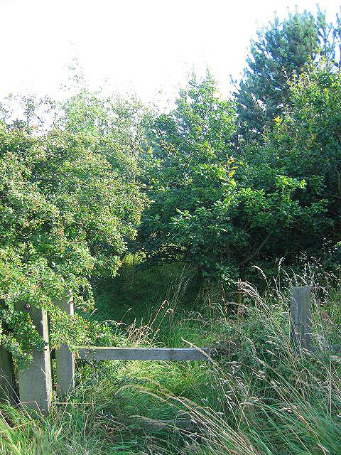
Image: © Alison Rawson Taken: 6 Aug 2007
This mixed woodland has been planted to screen the golf course from road users.
Images are licensed for reuse under creativecommons.org/licenses/by-sa/2.0
Image Location
Latitude
55.122486
Longitude
-1.60891