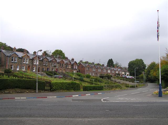
Mill worker's houses, Upperlands
Introduction
The photograph on this page of Mill worker's houses, Upperlands by Kenneth Allen as part of the Geograph project.
The Geograph project started in 2005 with the aim of publishing, organising and preserving representative images for every square kilometre of Great Britain, Ireland and the Isle of Man.
There are currently over 7.5m images from over 14,400 individuals and you can help contribute to the project by visiting https://www.geograph.org.uk

Image: © Kenneth Allen Taken: 2 Oct 2007
Upperlands owes its existence to the linen industry and the Clark family who established the first linen mill there in 1736. Subsequent development of the linen industry and of substantial residences and small groups of workers homes, shaped the form and character of Upperlands. Boyne Row (listed buildings), and its riverside setting, represents workers housing, provided by the mill-owners. There are four man made dams in Upperlands. They are up past the old linen mills. The names of these dams are as follows: Craigs dam, Island dam, Green dam and Lapping room dam. There is a seneic walk around these dam and there is also fishing allowed in these dams as they are stocked with fish for this purpose.
Image Location


