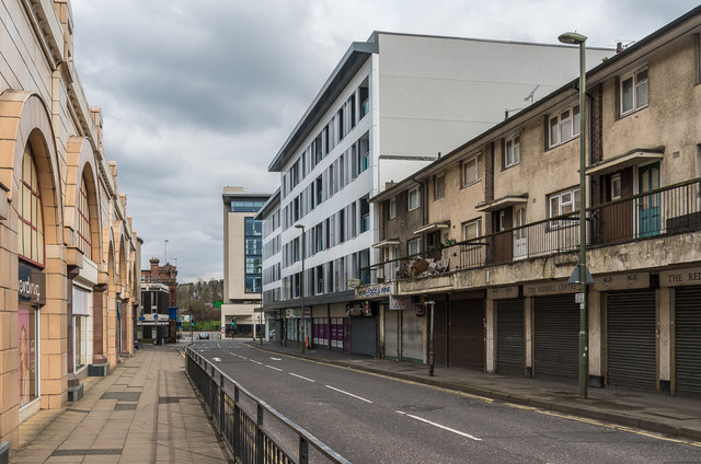
Cromwell Road
Introduction
The photograph on this page of Cromwell Road by Ian Capper as part of the Geograph project.
The Geograph project started in 2005 with the aim of publishing, organising and preserving representative images for every square kilometre of Great Britain, Ireland and the Isle of Man.
There are currently over 7.5m images from over 14,400 individuals and you can help contribute to the project by visiting https://www.geograph.org.uk

Image: © Ian Capper Taken: 1 Apr 2018
Looking along Cromwell Road, with part of the Belfry shopping centre on the left. On the right is 16-46 Cromwell Road, a 1960/70s development of retails and residential units owned by Reigate and Banstead Borough Council, now largely vacant. Following the completion of Queensgate, a conversion of a privately owned office block into 64 residential units completed in 2017, the council is proposing a similar development for this site. A previous plan for a supermarket on the site was dropped in 2014.

