West along Lancaster Road, Lower New Inn
Introduction
The photograph on this page of West along Lancaster Road, Lower New Inn by Jaggery as part of the Geograph project.
The Geograph project started in 2005 with the aim of publishing, organising and preserving representative images for every square kilometre of Great Britain, Ireland and the Isle of Man.

There are currently over 7.5m images from over 14,400 individuals and you can help contribute to the project by visiting https://www.geograph.org.uk
West along Lancaster Road, Lower New Inn
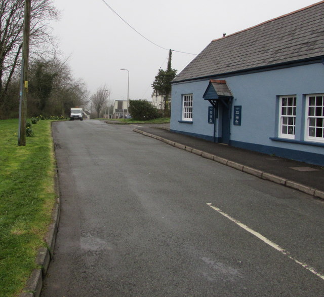
Image: © Jaggery Taken: 12 Apr 2018
From Newport Road past the southern edge of Lower New Inn gastropub. https://www.geograph.org.uk/photo/5735930 A sign behind the camera shows that Lancaster Road leads to Monmouth Close, Warwick Close, Church Close.
Images are licensed for reuse under creativecommons.org/licenses/by-sa/2.0
Image Location
Latitude
51.683364
Longitude
-3.007545