Bench mark on former Liberal Reform Club, Stockport
Introduction
The photograph on this page of Bench mark on former Liberal Reform Club, Stockport by John S Turner as part of the Geograph project.
The Geograph project started in 2005 with the aim of publishing, organising and preserving representative images for every square kilometre of Great Britain, Ireland and the Isle of Man.

There are currently over 7.5m images from over 14,400 individuals and you can help contribute to the project by visiting https://www.geograph.org.uk
Bench mark on former Liberal Reform Club, Stockport
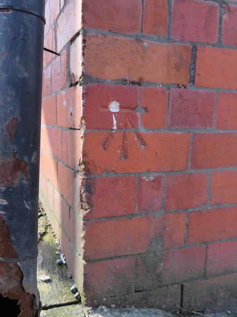
Image: © John S Turner Taken: 5 Apr 2018
This Ordnance Survey bench mark is on the south east corner of the former Liberal Reform Club at the junction of Wellington Street with Lower Hillgate. The club was built in 1889 and is #10 on the Stockport Heritage Trail. More recently it was a nightclub, and then was converted into apartments in 2014. See also Image
Images are licensed for reuse under creativecommons.org/licenses/by-sa/2.0
Image Location
Latitude
53.409142
Longitude
-2.155656