Footpath at Wardley
Introduction
The photograph on this page of Footpath at Wardley by Bill Boaden as part of the Geograph project.
The Geograph project started in 2005 with the aim of publishing, organising and preserving representative images for every square kilometre of Great Britain, Ireland and the Isle of Man.

There are currently over 7.5m images from over 14,400 individuals and you can help contribute to the project by visiting https://www.geograph.org.uk
Footpath at Wardley
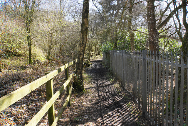
Image: © Bill Boaden Taken: 5 Apr 2018
A long-established route running between St Mary's Catholic Cemetery to the right and Wardley Industrial Estate to the left.
Images are licensed for reuse under creativecommons.org/licenses/by-sa/2.0
Image Location
Latitude
53.513498
Longitude
-2.362936