Road through St Mary's Catholic Cemetery
Introduction
The photograph on this page of Road through St Mary's Catholic Cemetery by Bill Boaden as part of the Geograph project.
The Geograph project started in 2005 with the aim of publishing, organising and preserving representative images for every square kilometre of Great Britain, Ireland and the Isle of Man.

There are currently over 7.5m images from over 14,400 individuals and you can help contribute to the project by visiting https://www.geograph.org.uk
Road through St Mary's Catholic Cemetery
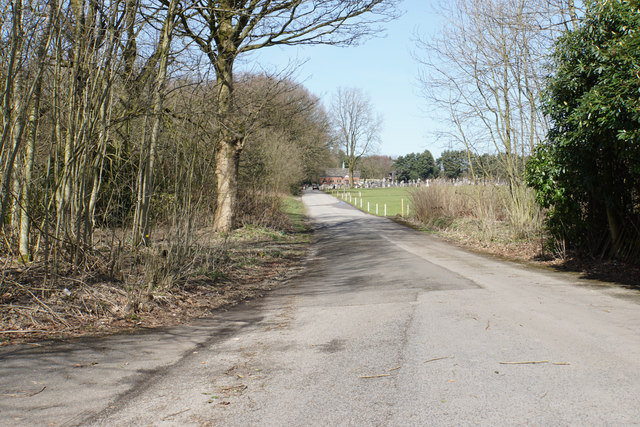
Image: © Bill Boaden Taken: 5 Apr 2018
The road appears to have once come off the East Lancs Road though it is gated in such a way that it is never likely to be opened.
Images are licensed for reuse under creativecommons.org/licenses/by-sa/2.0
Image Location
Latitude
53.512592
Longitude
-2.36519