Wardley Wood
Introduction
The photograph on this page of Wardley Wood by Bill Boaden as part of the Geograph project.
The Geograph project started in 2005 with the aim of publishing, organising and preserving representative images for every square kilometre of Great Britain, Ireland and the Isle of Man.

There are currently over 7.5m images from over 14,400 individuals and you can help contribute to the project by visiting https://www.geograph.org.uk
Wardley Wood
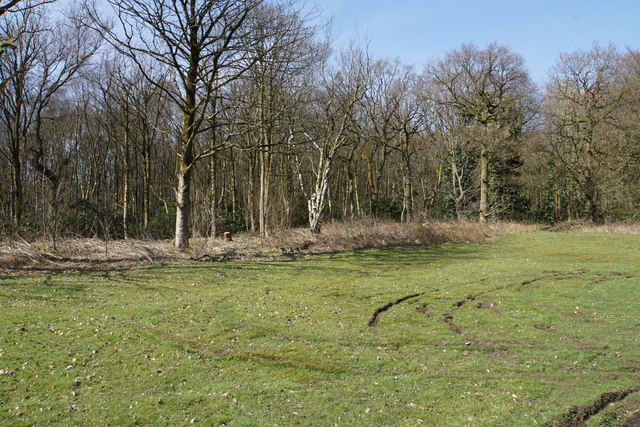
Image: © Bill Boaden Taken: 5 Apr 2018
Part of the woodland surrounding Wardley Hall. This part is lining St Mary's RC Cemetery. The foreground has been used for vehicles turning but the land is very soft.
Images are licensed for reuse under creativecommons.org/licenses/by-sa/2.0
Image Location
Latitude
53.51313
Longitude
-2.365496