A389 in Padstow
Introduction
The photograph on this page of A389 in Padstow by Derek Harper as part of the Geograph project.
The Geograph project started in 2005 with the aim of publishing, organising and preserving representative images for every square kilometre of Great Britain, Ireland and the Isle of Man.

There are currently over 7.5m images from over 14,400 individuals and you can help contribute to the project by visiting https://www.geograph.org.uk
A389 in Padstow
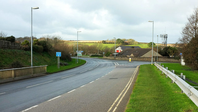
Image: © Derek Harper Taken: 3 Feb 2018
The junction, with the B3276 New Street, is also shown in Image The A reaches its conclusion some 400 metres further on, rather ignominiously giving way to the same B road.
Images are licensed for reuse under creativecommons.org/licenses/by-sa/2.0
Image Location
Latitude
50.538662
Longitude
-4.941129