Cong Burn Woods, Chester-le-Street
Introduction
The photograph on this page of Cong Burn Woods, Chester-le-Street by Graham Robson as part of the Geograph project.
The Geograph project started in 2005 with the aim of publishing, organising and preserving representative images for every square kilometre of Great Britain, Ireland and the Isle of Man.

There are currently over 7.5m images from over 14,400 individuals and you can help contribute to the project by visiting https://www.geograph.org.uk
Cong Burn Woods, Chester-le-Street
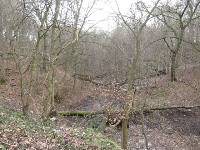
Image: © Graham Robson Taken: 17 Mar 2018
A small wooded valley within Cong Burn Woods on the edge of Chester-le-Street.
Images are licensed for reuse under creativecommons.org/licenses/by-sa/2.0
Image Location
Latitude
54.853616
Longitude
-1.608242