The Great Wall of Clevehill
Introduction
The photograph on this page of The Great Wall of Clevehill by Christine Johnstone as part of the Geograph project.
The Geograph project started in 2005 with the aim of publishing, organising and preserving representative images for every square kilometre of Great Britain, Ireland and the Isle of Man.

There are currently over 7.5m images from over 14,400 individuals and you can help contribute to the project by visiting https://www.geograph.org.uk
The Great Wall of Clevehill
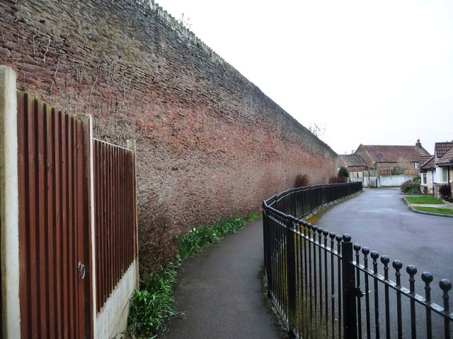
Image: © Christine Johnstone Taken: 31 Mar 2018
According to the 6 inch OS map published in 1886, this was the northern boundary of the Clevehill estate. Now it forms the back garden wall of houses in Oakdale Court.
Images are licensed for reuse under creativecommons.org/licenses/by-sa/2.0
Image Location
Latitude
51.494275
Longitude
-2.504825