Farmland on the southern boundary of High Moss
Introduction
The photograph on this page of Farmland on the southern boundary of High Moss by Christine Johnstone as part of the Geograph project.
The Geograph project started in 2005 with the aim of publishing, organising and preserving representative images for every square kilometre of Great Britain, Ireland and the Isle of Man.

There are currently over 7.5m images from over 14,400 individuals and you can help contribute to the project by visiting https://www.geograph.org.uk
Farmland on the southern boundary of High Moss
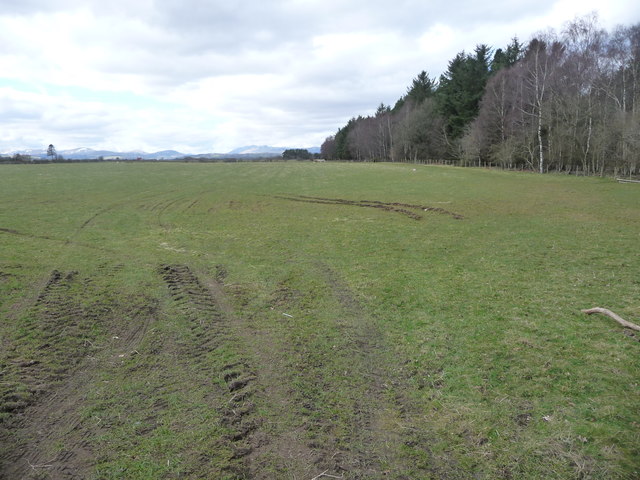
Image: © Christine Johnstone Taken: 26 Mar 2018
High Moss is a triangular plantation of coniferous and deciduous trees.
Images are licensed for reuse under creativecommons.org/licenses/by-sa/2.0
Image Location
Latitude
54.655098
Longitude
-2.661029