Platform 11, High Street, Pontypridd
Introduction
The photograph on this page of Platform 11, High Street, Pontypridd by Jaggery as part of the Geograph project.
The Geograph project started in 2005 with the aim of publishing, organising and preserving representative images for every square kilometre of Great Britain, Ireland and the Isle of Man.

There are currently over 7.5m images from over 14,400 individuals and you can help contribute to the project by visiting https://www.geograph.org.uk
Platform 11, High Street, Pontypridd
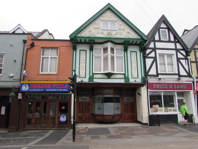
Image: © Jaggery Taken: 9 Apr 2018
Viewed in April 2018. The club is in a building dated 1904, previously occupied by the Morgan Tavern seen here https://www.geograph.org.uk/photo/4257609 in 2014.
Images are licensed for reuse under creativecommons.org/licenses/by-sa/2.0
Image Location
Latitude
51.599999
Longitude
-3.341249