Newark, former Pack Horse public house
Introduction
The photograph on this page of Newark, former Pack Horse public house by Brian Westlake as part of the Geograph project.
The Geograph project started in 2005 with the aim of publishing, organising and preserving representative images for every square kilometre of Great Britain, Ireland and the Isle of Man.

There are currently over 7.5m images from over 14,400 individuals and you can help contribute to the project by visiting https://www.geograph.org.uk
Newark, former Pack Horse public house
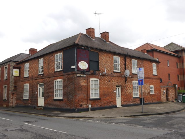
Image: © Brian Westlake Taken: 16 Mar 2018
There is an unusual mark on the former Pack Horse Inn, now a private house, on the corner of Albert Street and Eldon Street. It is thought that this was intended as a bench mark but never made it to the Ordnance Survey database. See http://www.geograph.org.uk/photo/5732640 for a closer view and http://www.bench-marks.org.uk/bm71795 for details.
Images are licensed for reuse under creativecommons.org/licenses/by-sa/2.0
Image Location
Latitude
53.072876
Longitude
-0.811684