Western end of the Severn Tunnel
Introduction
The photograph on this page of Western end of the Severn Tunnel by Nigel Davies as part of the Geograph project.
The Geograph project started in 2005 with the aim of publishing, organising and preserving representative images for every square kilometre of Great Britain, Ireland and the Isle of Man.

There are currently over 7.5m images from over 14,400 individuals and you can help contribute to the project by visiting https://www.geograph.org.uk
Western end of the Severn Tunnel
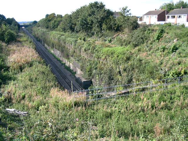
Image: © Nigel Davies Taken: 26 Sep 2007
Hidden away behind fences and dense vegetation in a residential area, the deep cut Paddington line disappears on its way under the Severn River, to emerge here: Image
Images are licensed for reuse under creativecommons.org/licenses/by-sa/2.0
Image Location
Latitude
51.585116
Longitude
-2.75163