Best view of Britain, Bristol
Introduction
The photograph on this page of Best view of Britain, Bristol by Derek Harper as part of the Geograph project.
The Geograph project started in 2005 with the aim of publishing, organising and preserving representative images for every square kilometre of Great Britain, Ireland and the Isle of Man.

There are currently over 7.5m images from over 14,400 individuals and you can help contribute to the project by visiting https://www.geograph.org.uk
Best view of Britain, Bristol
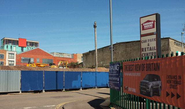
Image: © Derek Harper Taken: 5 Apr 2018
I was scratching my head wondering why I took this until I spotted the banner on the right, and thought "Ah, yes, an attempt at irony". Beyond the junction of New Thomas Street and Unity Street is the large building site also shown in Image] and Image], with flats at Verdigris beyond on Jacob Street.
Images are licensed for reuse under creativecommons.org/licenses/by-sa/2.0
Image Location
Latitude
51.454809
Longitude
-2.580955