Nelson Street
Introduction
The photograph on this page of Nelson Street by marie as part of the Geograph project.
The Geograph project started in 2005 with the aim of publishing, organising and preserving representative images for every square kilometre of Great Britain, Ireland and the Isle of Man.

There are currently over 7.5m images from over 14,400 individuals and you can help contribute to the project by visiting https://www.geograph.org.uk
Nelson Street
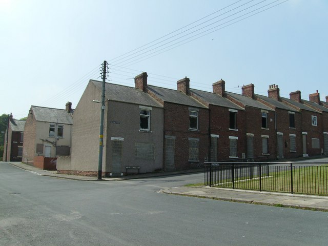
Image: © marie Taken: 9 Jun 2007
Nelson Street is currently scheduled for demolition. The rows were housing for workers at Mainsforth colliery and were built between 1900-1920. They were sold by the coal board for private housing in the mid 1970s.
Images are licensed for reuse under creativecommons.org/licenses/by-sa/2.0
Image Location
Latitude
54.678919
Longitude
-1.532691