Main Street meets the A19
Introduction
The photograph on this page of Main Street meets the A19 by DS Pugh as part of the Geograph project.
The Geograph project started in 2005 with the aim of publishing, organising and preserving representative images for every square kilometre of Great Britain, Ireland and the Isle of Man.

There are currently over 7.5m images from over 14,400 individuals and you can help contribute to the project by visiting https://www.geograph.org.uk
Main Street meets the A19
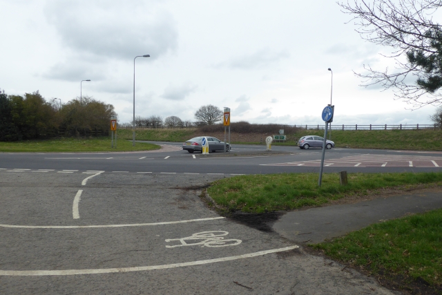
Image: © DS Pugh Taken: 8 Apr 2018
Main Street Riccall meets the A19. At one stage the A19 ran through the village, but was bypassed when the railway was relocated. A small part of the village lies the other side of the A19. The York to Selby cycle path can be seen in the foreground which heads along the side of the A19 towards Barlby from here.
Images are licensed for reuse under creativecommons.org/licenses/by-sa/2.0
Image Location
Latitude
53.829564
Longitude
-1.051895