Hagley Park
Introduction
The photograph on this page of Hagley Park by Philip Halling as part of the Geograph project.
The Geograph project started in 2005 with the aim of publishing, organising and preserving representative images for every square kilometre of Great Britain, Ireland and the Isle of Man.

There are currently over 7.5m images from over 14,400 individuals and you can help contribute to the project by visiting https://www.geograph.org.uk
Hagley Park
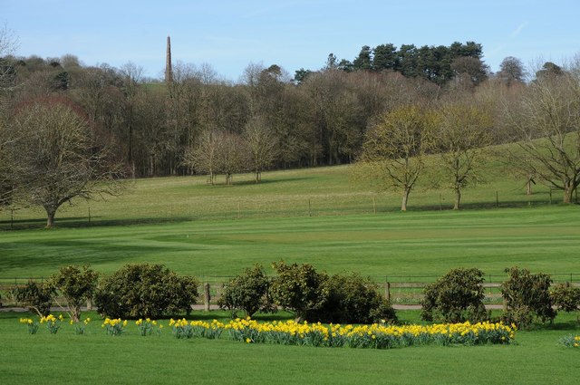
Image: © Philip Halling Taken: 5 Apr 2018
View from Hagley Hall across the parkland to the north of the house. The Hagley Obelisk can be seen on Wychbury Hill on the horizon (it also known as the Wychbury Obelisk). It is 84 feet (26 m) high and visible for many miles alround. It is a Grade II* listed.
Images are licensed for reuse under creativecommons.org/licenses/by-sa/2.0
Image Location
Latitude
52.427554
Longitude
-2.118344