High House Farm
Introduction
The photograph on this page of High House Farm by Robin Webster as part of the Geograph project.
The Geograph project started in 2005 with the aim of publishing, organising and preserving representative images for every square kilometre of Great Britain, Ireland and the Isle of Man.

There are currently over 7.5m images from over 14,400 individuals and you can help contribute to the project by visiting https://www.geograph.org.uk
High House Farm
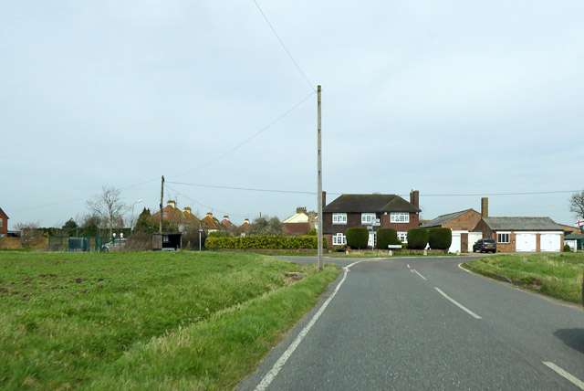
Image: © Robin Webster Taken: 6 Apr 2018
An odd name, the house is not particularly high, the road junction in front of it is 12 m above sea level. The house does not look very old, perhaps it replaced an older, taller house.
Images are licensed for reuse under creativecommons.org/licenses/by-sa/2.0
Image Location
Latitude
51.566448
Longitude
0.765542