Greenfield Hush (disused)
Introduction
The photograph on this page of Greenfield Hush (disused) by Mike Quinn as part of the Geograph project.
The Geograph project started in 2005 with the aim of publishing, organising and preserving representative images for every square kilometre of Great Britain, Ireland and the Isle of Man.

There are currently over 7.5m images from over 14,400 individuals and you can help contribute to the project by visiting https://www.geograph.org.uk
Greenfield Hush (disused)
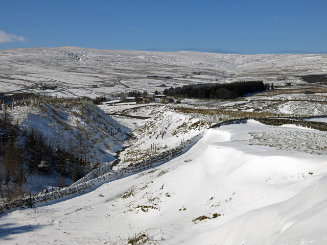
Image: © Mike Quinn Taken: 5 Apr 2018
A hush was made by collecting water behind a (generally) small dam and repeatedly releasing the built-up water to wash away the soil and reveal the mineral-bearing ore beneath https://en.wikipedia.org/wiki/Hushing .
Images are licensed for reuse under creativecommons.org/licenses/by-sa/2.0
Image Location


Leaflet Map data © OpenStreetMap
Latitude
54.770246
Longitude
-2.244468