Terrace on Park Street, Bristol
Introduction
The photograph on this page of Terrace on Park Street, Bristol by Derek Harper as part of the Geograph project.
The Geograph project started in 2005 with the aim of publishing, organising and preserving representative images for every square kilometre of Great Britain, Ireland and the Isle of Man.

There are currently over 7.5m images from over 14,400 individuals and you can help contribute to the project by visiting https://www.geograph.org.uk
Terrace on Park Street, Bristol
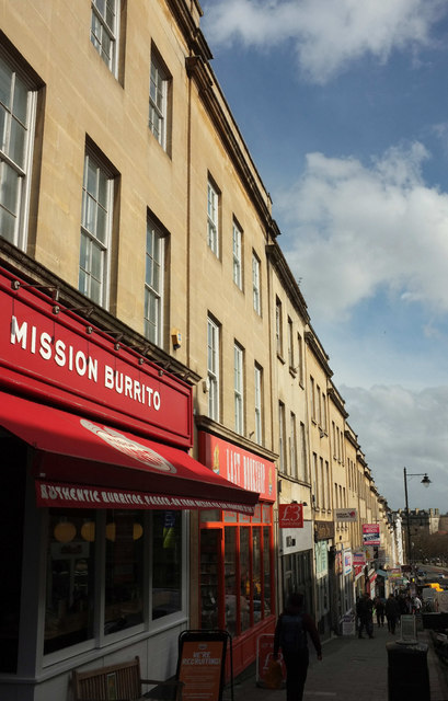
Image: © Derek Harper Taken: 3 Apr 2018
Some of the buildings in this terrace are listed, uncluding the one two doors down from Mission Burrito. The terrace, by Thomas Paty, dates from 1762-1800 and was badly damaged in WW2. Park Street is the A4018.
Images are licensed for reuse under creativecommons.org/licenses/by-sa/2.0
Image Location


Leaflet Map data © OpenStreetMap
Latitude
51.454608
Longitude
-2.602829