Station Lane, Witney, Oxon
Introduction
The photograph on this page of Station Lane, Witney, Oxon by P L Chadwick as part of the Geograph project.
The Geograph project started in 2005 with the aim of publishing, organising and preserving representative images for every square kilometre of Great Britain, Ireland and the Isle of Man.

There are currently over 7.5m images from over 14,400 individuals and you can help contribute to the project by visiting https://www.geograph.org.uk
Station Lane, Witney, Oxon
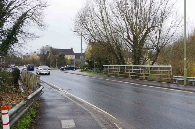
Image: © P L Chadwick Taken: 30 Mar 2018
A major road which runs to the south of the town centre. In the foreground it is crossing Emma's Dike by a bridge. See:- Image The road on the right, in which a blue car is waiting, is Gordon Way.
Images are licensed for reuse under creativecommons.org/licenses/by-sa/2.0
Image Location
Latitude
51.777566
Longitude
-1.488735