Emma's Dike, near Station Lane, Witney, Oxon
Introduction
The photograph on this page of Emma's Dike, near Station Lane, Witney, Oxon by P L Chadwick as part of the Geograph project.
The Geograph project started in 2005 with the aim of publishing, organising and preserving representative images for every square kilometre of Great Britain, Ireland and the Isle of Man.

There are currently over 7.5m images from over 14,400 individuals and you can help contribute to the project by visiting https://www.geograph.org.uk
Emma's Dike, near Station Lane, Witney, Oxon
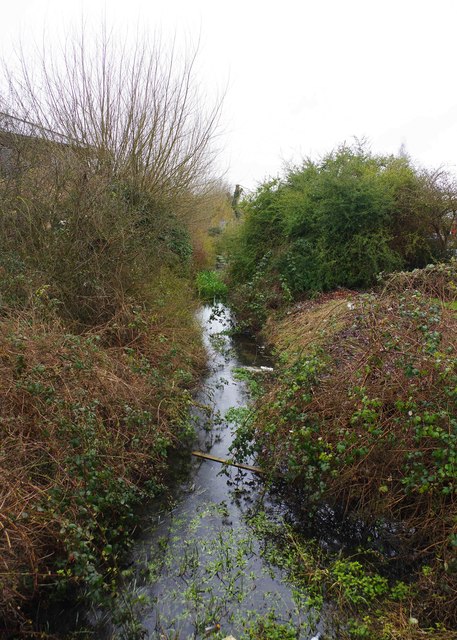
Image: © P L Chadwick Taken: 30 Mar 2018
Emma's Dike is the name of this stream or watercourse which connects with the River Windrush. It is shown thus on old maps and some modern ones. On at least one of the latter it is named Em's Ditch, which seems rather unlikely. Here it is running south of Station Lane. The name appears to come from a prominent historical Royal figure of the 11th century. Queen Emma was first married to King Ethelred ("the Unready") and following his death she married the Dane King Knut (Canute). One of her sons by her first marriage became King Edward the Confessor. Queen Emma owned land in Oxfordshire and in 1044 she granted the Bishop of Winchester an estate in Witney and this was confirmed in the Domesday Book. There is a street in Witney named Queen Emma's Dike and also a primary school is named after her.
Images are licensed for reuse under creativecommons.org/licenses/by-sa/2.0
Image Location
Latitude
51.777295
Longitude
-1.488448