Course of Pike's Tramway, Ridge
Introduction
The photograph on this page of Course of Pike's Tramway, Ridge by Robin Webster as part of the Geograph project.
The Geograph project started in 2005 with the aim of publishing, organising and preserving representative images for every square kilometre of Great Britain, Ireland and the Isle of Man.

There are currently over 7.5m images from over 14,400 individuals and you can help contribute to the project by visiting https://www.geograph.org.uk
Course of Pike's Tramway, Ridge
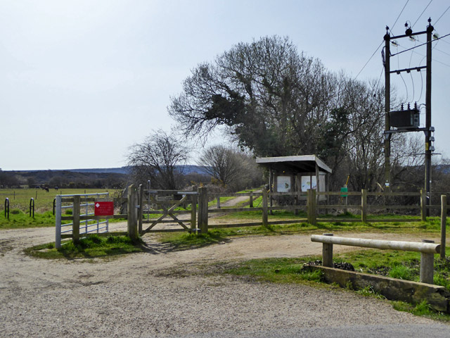
Image: © Robin Webster Taken: 1 Apr 2018
Passing to the left of the shelter, this hauled clay from Creech and Furzebrook to a wharf on the River Frome from 1830 until 1957. It was regauged from probably 4' to 2'8.5" in 1866, and made suitable for locomotive haulage. This section is now used by the 'Poole Harbour Trail'.
Images are licensed for reuse under creativecommons.org/licenses/by-sa/2.0
Image Location
Latitude
50.676147
Longitude
-2.090099