Railway Street, Newcastle
Introduction
The photograph on this page of Railway Street, Newcastle by Eric Jones as part of the Geograph project.
The Geograph project started in 2005 with the aim of publishing, organising and preserving representative images for every square kilometre of Great Britain, Ireland and the Isle of Man.

There are currently over 7.5m images from over 14,400 individuals and you can help contribute to the project by visiting https://www.geograph.org.uk
Railway Street, Newcastle
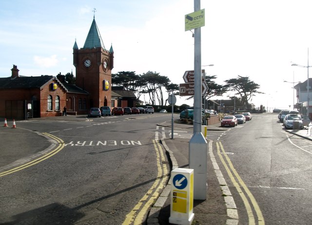
Image: © Eric Jones Taken: 4 Apr 2017
The turreted building is the former railway station closed in the early 1950s. In recent years it has been converted into a branch of Lidl NI.
Images are licensed for reuse under creativecommons.org/licenses/by-sa/2.0
Image Location
Latitude
54.214906
Longitude
-5.888542