Cumberland Avenue, near Pitch Place, Guildford
Introduction
The photograph on this page of Cumberland Avenue, near Pitch Place, Guildford by Ron Strutt as part of the Geograph project.
The Geograph project started in 2005 with the aim of publishing, organising and preserving representative images for every square kilometre of Great Britain, Ireland and the Isle of Man.

There are currently over 7.5m images from over 14,400 individuals and you can help contribute to the project by visiting https://www.geograph.org.uk
Cumberland Avenue, near Pitch Place, Guildford
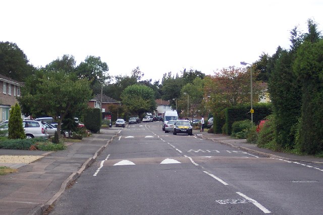
Image: © Ron Strutt Taken: 24 Sep 2005
Cumberland Avenue is part of a substantial suburban development created on the site of the Hazels, the sports ground of the Friary, Holroyd & Healy’s Brewery.
Images are licensed for reuse under creativecommons.org/licenses/by-sa/2.0
Image Location
Latitude
51.264973
Longitude
-0.591029