St Helen?s Cottage, Datchet
Introduction
The photograph on this page of St Helen?s Cottage, Datchet by Derek Harper as part of the Geograph project.
The Geograph project started in 2005 with the aim of publishing, organising and preserving representative images for every square kilometre of Great Britain, Ireland and the Isle of Man.

There are currently over 7.5m images from over 14,400 individuals and you can help contribute to the project by visiting https://www.geograph.org.uk
St Helen?s Cottage, Datchet
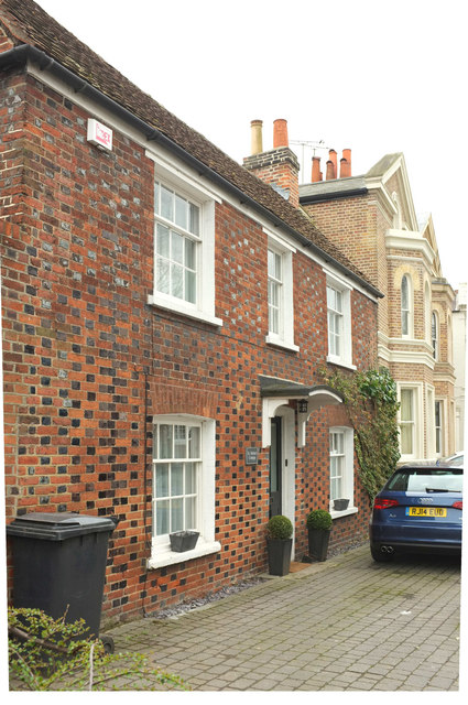
Image: © Derek Harper Taken: 1 Apr 2018
A building listed as "Holimans Platt" https://www.historicengland.org.uk/listing/the-list/list-entry/1117637 with "red stretchers, grey-black headers". "the older name has recently been reinstated" http://datchethistory.org.uk/streetshouses/high-street/st-helens-cottage/ . Beyond are Park Villas http://datchethistory.org.uk/streetshouses/high-street/park-villas-numbers-33-39/ .
Images are licensed for reuse under creativecommons.org/licenses/by-sa/2.0
Image Location
Latitude
51.482557
Longitude
-0.581166