The Shore Circular Path
Introduction
The photograph on this page of The Shore Circular Path by Lairich Rig as part of the Geograph project.
The Geograph project started in 2005 with the aim of publishing, organising and preserving representative images for every square kilometre of Great Britain, Ireland and the Isle of Man.

There are currently over 7.5m images from over 14,400 individuals and you can help contribute to the project by visiting https://www.geograph.org.uk
The Shore Circular Path
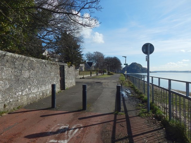
Image: © Lairich Rig Taken: 29 Mar 2018
Image is behind the iron gate set in the wall on the left. Just beyond that is the foot of Clydeshore Road; the other end of that road is shown in Image The short row of houses directly ahead is Image (Image). See Image for a view in the opposite direction.
Images are licensed for reuse under creativecommons.org/licenses/by-sa/2.0
Image Location
Latitude
55.938232
Longitude
-4.578534