The Hall House, High Street, Datchet
Introduction
The photograph on this page of The Hall House, High Street, Datchet by Derek Harper as part of the Geograph project.
The Geograph project started in 2005 with the aim of publishing, organising and preserving representative images for every square kilometre of Great Britain, Ireland and the Isle of Man.

There are currently over 7.5m images from over 14,400 individuals and you can help contribute to the project by visiting https://www.geograph.org.uk
The Hall House, High Street, Datchet
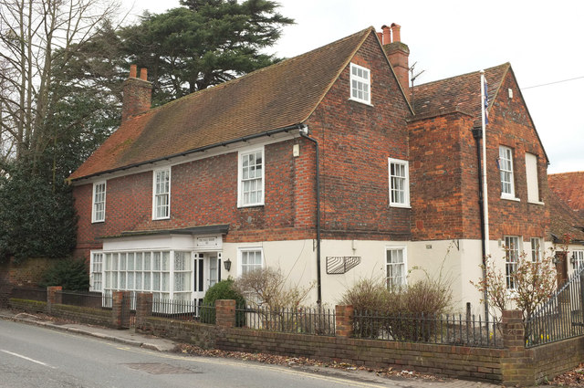
Image: © Derek Harper Taken: 1 Apr 2018
A complex listed house described at https://www.historicengland.org.uk/listing/the-list/list-entry/1117635 , with a complex history described at http://datchethistory.org.uk/streetshouses/high-street/number-20-hat-hire-shop/ , which explains the changes of use.
Images are licensed for reuse under creativecommons.org/licenses/by-sa/2.0
Image Location
Latitude
51.482825
Longitude
-0.581014