72 & 73 Mardol, Shrewsbury
Introduction
The photograph on this page of 72 & 73 Mardol, Shrewsbury by Richard Law as part of the Geograph project.
The Geograph project started in 2005 with the aim of publishing, organising and preserving representative images for every square kilometre of Great Britain, Ireland and the Isle of Man.

There are currently over 7.5m images from over 14,400 individuals and you can help contribute to the project by visiting https://www.geograph.org.uk
72 & 73 Mardol, Shrewsbury
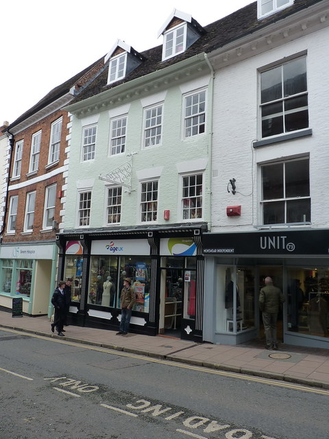
Image: © Richard Law Taken: 24 Mar 2018
A pair of 18th century former houses, converted to shops at a later date, and Grade II listed https://www.britishlistedbuildings.co.uk/101254646-72-and-73-mardol-shrewsbury#.WsR5FfnwaM8 in 1972. The 4-window range to the left (i.e. Age UK premises) is no 72, with no 73 being the single-window building to the right.
Images are licensed for reuse under creativecommons.org/licenses/by-sa/2.0
Image Location
Latitude
52.708333
Longitude
-2.755102