West Wilts Trading Estate [2]
Introduction
The photograph on this page of West Wilts Trading Estate [2] by Michael Dibb as part of the Geograph project.
The Geograph project started in 2005 with the aim of publishing, organising and preserving representative images for every square kilometre of Great Britain, Ireland and the Isle of Man.

There are currently over 7.5m images from over 14,400 individuals and you can help contribute to the project by visiting https://www.geograph.org.uk
West Wilts Trading Estate [2]
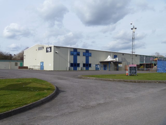
Image: © Michael Dibb Taken: 26 Mar 2018
The Club Ice building on the estate. Facilities include bars, club rooms, snooker tables and a skittle alley. West Wilts Trading Estate is a substantial and long established industrial estate covering some 165 acres. Situated in Westbury an important business centre along the A350 corridor which links the M4 Motorway to the north with the A303 trunk road to the south. The trading estate is home to a wide range of companies.
Images are licensed for reuse under creativecommons.org/licenses/by-sa/2.0
Image Location
Latitude
51.276869
Longitude
-2.203095