Stone wall alongside Arrowe Park Road
Introduction
The photograph on this page of Stone wall alongside Arrowe Park Road by John S Turner as part of the Geograph project.
The Geograph project started in 2005 with the aim of publishing, organising and preserving representative images for every square kilometre of Great Britain, Ireland and the Isle of Man.

There are currently over 7.5m images from over 14,400 individuals and you can help contribute to the project by visiting https://www.geograph.org.uk
Stone wall alongside Arrowe Park Road
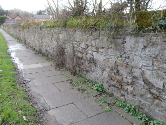
Image: © John S Turner Taken: 30 Mar 2018
This stone wall runs alongside Arrowe Park Road and bounds the historic Arrowe Park. There is an Ordnance Survey bench mark at the base of the wall nearest the camera - Image
Images are licensed for reuse under creativecommons.org/licenses/by-sa/2.0
Image Location
Latitude
53.366878
Longitude
-3.089365